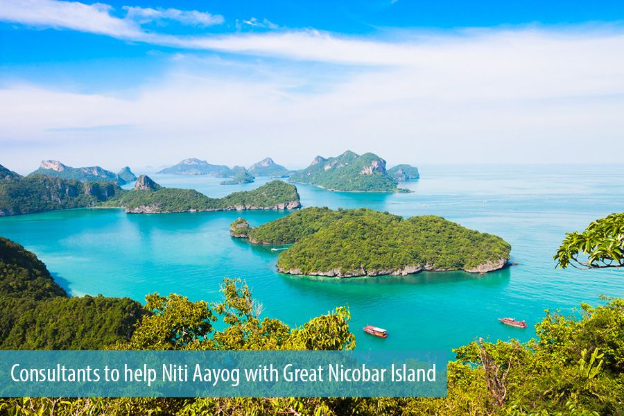
NITI AAYOG’S AMBITIOUS PROJECT FOR GREAT NICOBAR ISLAND
CONTEXT
CLIMATE AND CLEAN AIR COALITION (CCAC)
It is voluntary partnership of governments, civil society and private sector to protect the dimate and improve air quality through actions to reduce short-lived climate pollutants.
The initial focus is on methane, black carbon, and HFCS.
India joined the CCAC in 2019.
Recently, the Environment Appraisal Committee which flagged concerns over the project has now ‘recommended’ it ‘for grant of terms of reference’ for Environmental Impact Assessment (EIA) studies.
o In August, 2020 the Prime Minister had declared that the Andaman and Nicobar Islands will be developed as a “maritime and startup hub”.
MORE ABOUT PLAN
The plan proposes the construction of a transshipment terminal, a greenfield international airport, township and
area development and a 450 megavolt amperes gas and solar based power plant on Great Nicobar, the southernmost and largest of the Nicobar Islands, and India’s southernmost territory.
The International Container Transshipment Terminal will come up in the Galathea Bay, in the south eastern part of the Great Nicobar island, only 90 km away from the western end of the Malacca Strait o Transshipment involves
offloading cargo from one ship and loading it onto another vessel to be carried to the final port of discharge.
Smaller feeder vessels bring cargo containers to the transshipment hub from the ports which large container ships can’t access due to depth restrictions — many of India’s major ports do not have deep draft required for such ships.
In case of imports, large container ships bring cargo to the transshipment hubs like Colombo and Singapore, where it is unloaded and then loaded onto smaller ships, which can access ports with shallow draft.
Currently, nearly 25 per cent of Indian originating and destined container traffic is transshipped through foreign ports like Colombo, Singapore, Kelang (Malaysia) and Jebel Ali (United Arab Emirates).
More than 80 per cent of this transshipment is handled by Colombo, Singapore and Klang ports. Transshipment containers from India form about 45 per cent of Colombo port’s total container transshipment volume.
o This translates into an estimated total loss of Rs 3,000-4,500 crore to economy
A transshipment terminal in the Andaman and Nicobar Islands — the most technically and financially feasible location is Galathea Bay — will be closer to India’s eastern coast, Bangladesh and Myanmar than Singapore and Klang, which currently serve as major transshipment hubs in this region.
ISSUES WITH PROJECT:
Lack of details on seismic and tsunami hazards, freshwater requirement details, and details of the impact on the Giant Leatherback turtle.
No details of the trees to be felled—a number that could run into millions since 130 sq. km. of the project area has some of the finest tropical forests in India.
A number of additional issues include about Galathea Bay, the site of the port and the centrepiece of the NITI Aayog proposal.
o Galathea Bay is an iconic nesting site in India of the enigmatic Giant Leatherback, the world’s largest marine turtle—borne out by surveys done over three decades.
o Ecological surveys in the last few years have reported a number of new species, many restricted to just the Galathea region.
o These include the critically endangered Nicobar shrew, the Great Nicobar crake, the Nicobar frog, the Nicobar cat snake, a new skink (Lipinia sp), a new lizard (Dibamus sp,) and a snake of the Lycodon sp that is yet to be described.
The site selection for the port had been done mainly on technical and financial criteria, ignoring the environmental aspects.
ACTION POINTS LISTED OUT BY THE COMMITTEE:
There is a need for an independent assessment of terrestrial and marine biodiversity, a study on the impact of dredging, reclamation and port operations, including oil spills.
The need for studies of alternative sites for the port with a focus on environmental and ecological impact, especially on turtles, analysis of risk-handling capabilities.
UPSC PRELIMS 2018
Consider the following statements
1. The Barren Island volcano is an active volcano located in the Indian territory.
2. Barren Island lies about 140 km east of Great Nicobar.
3. The last time the Barren Island volcano erupted was in 1991 and it has remained inactive since then.
Which of the statements given above is/are correct?
a) 1 only
b) 2 and 3
c) 3 only
d) 1 and 3
A seismic and tsunami hazard map, a disaster management plan, details of labour, labour camps and their requirements, an assessment of the cumulative impact, and a hydro-geological study to assess impact on round and surface water regimes.
MORE ABOUT ANDAMAN AND NICOBAR ISLANDS
Andaman and Nicobar Islands were formed due to collision between Indian Plate and Burma Minor Plate [part of Eurasian Plate] [Similar to formation of Himalayas].
Andaman and Nicobar Islands were formed due to collision between Indian Plate and Burma Minor Plate [part of Eurasian Plate] [Similar to formation of Himalayas].
This archipelago is composed of 265 big and small islands [203 Andaman Islands + 62 Nicobar Islands] [Numbers are just for understanding. You need not remember trivial facts].
The Andaman Islands are divided into three main islands i.e. North, Middle and South.
Duncan passage separates Little Andaman from South Andaman.
The Great Andaman group of islands in the north is separated by the Ten Degree Channel from the Nicobar group in the south
Port Blair, the capital of Andaman Nicobar Islands lies in the South Andaman.
Among the Nicobar Islands, the Great Nicobar is the largest. It is the southernmost island and is very close to Sumatra island of Indonesia. The Car Nicobar is the northernmost.
Most of these islands are made of tertiary sandstone, limestone and shale resting on basic and ultrabasic volcanoes [Similar to Himalayas].
THE BARREN AND NARCONDAM ISLANDS, north of Port Blair, are volcanic islands [these are the only active volcanoes in India] [There are no active volcanoes in main land India].
Barren Island volcano became active again in March, 1991. A second phase of eruptions started in 1995.
Some of the islands are fringed with coral reefs. Many of them are covered with thick forests. Most of the islands are mountainous.
Saddle peak (737 m) in North Andaman is the highest peak.
(REF – NCERT GEOGRAPHY, INDIAN GEOGRAPHY BY KULLAR, PMF IAS )
UPSC PRELIMS 2014
Which one of the following pairs of islands is separated from each other by the ‘Ten Degree Channel’?
a) Andaman and Nicobar
b) Nicobar and Sumatra
c) Maldives and Lakshadweep
d) Sumatra and Java
UPSC PRELIMS 2017
Which of the following is geographically closest to Great Nicobar?
a) Sumatra
b) Borneo
c) Java
d) Sri Lanka